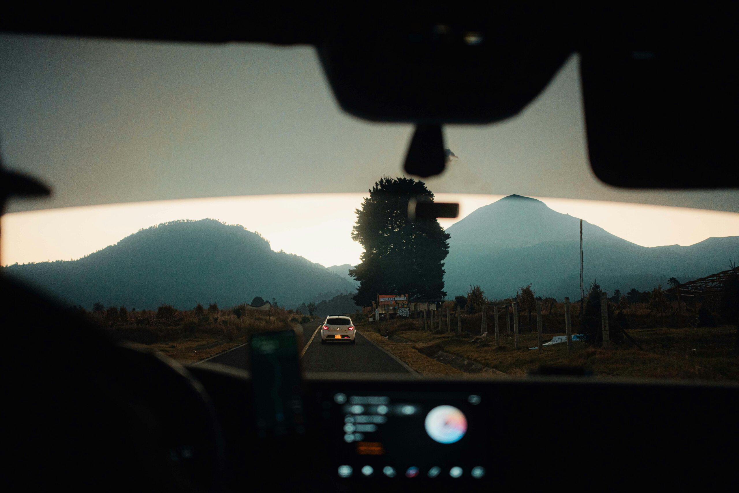
The 2026 World Cup provides the perfect opportunity to explore Mexico beyond the stadiums. Traveling by road through tropical jungles, colonial towns, deserts, mountains, and endless coastlines is one of the best ways to experience the country.
More than just reaching your destination, here are a few road trip itineraries to explore Mexico. Stop by small towns, sample regional cuisine, and discover natural reserves, hidden beaches, and spectacular viewpoints.
Mexico City to Riviera Maya (21 hours)
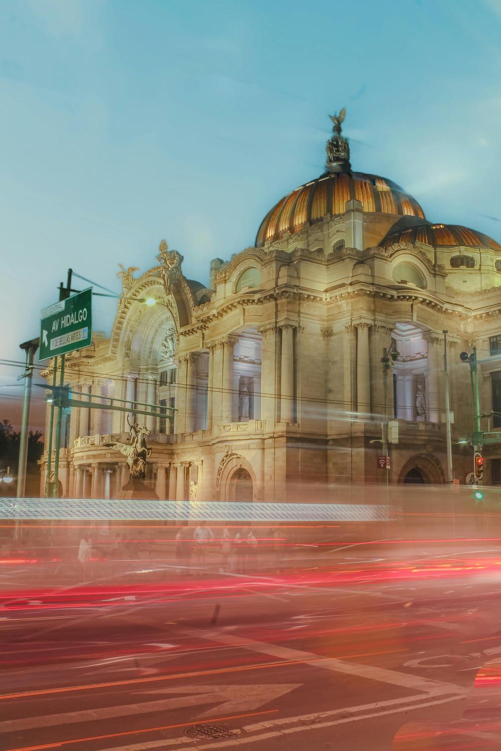
Given the historic and natural richness of the states it crosses—Puebla, Veracruz, Tabasco, Campeche, Yucatán, and Quintana Roo—this route offers numerous opportunities to visit Magical Towns (Pueblos Mágicos), archaeological sites, and biosphere reserves. Below is a foundational itinerary that you can customize based on your preferences and available time.
Day 1: Mexico City – Puebla – Orizaba – Córdoba
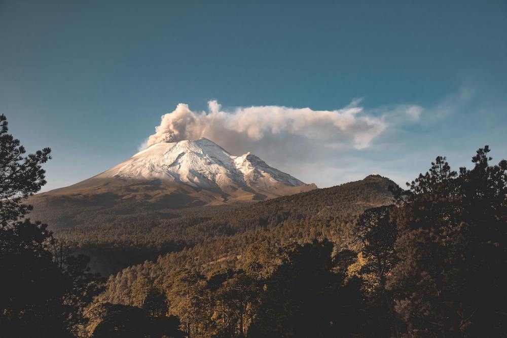
Depart at 6:00 a.m. via the Mexico-Puebla highway (MEX 150D) to watch the sunrise illuminate the Popocatépetl and Iztaccíhuatl volcanoes, enjoying the forested scenery before arriving in Puebla.
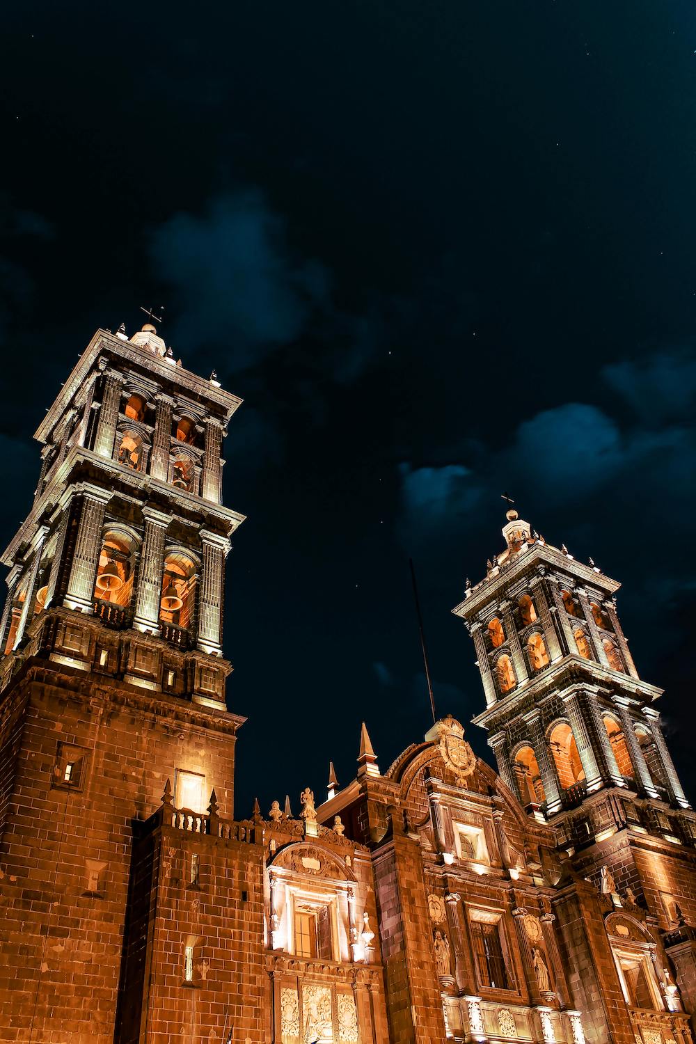
You will undoubtedly fall in love with the colonial buildings of Puebla’s Historic Center, making you want to extend your stay. Beyond the famous mole, be sure to try local specialties like pelonas, molotes, and cemitas. Finally, sweeten your morning with a churro and hot chocolate at “Antigua Churrería de Catedral” while watching this delicious fried dessert being prepared through the window.
Next, take Highway 150D (Mexico-Veracruz) toward Córdoba, Veracruz. This road descends through mist-covered mountains, deep ravines, and rainforests. Stop in Orizaba, one of the most beautiful cities in central Mexico, which is well worth exploring. Visit the River Walk (Paseo del Río) and the Iron Palace (Palacio de Hierro), a structure designed by Gustave Eiffel. Rejoin Highway 150D to arrive in Córdoba.
Day 2: Córdoba – La Venta – Villahermosa
Start the day with freshly made picaditas veracruzanas paired with café de olla. Take the Córdoba–Veracruz highway (MEX 150D). As you drive, the misty mountains fade into vast tropical expanses and humid jungles.
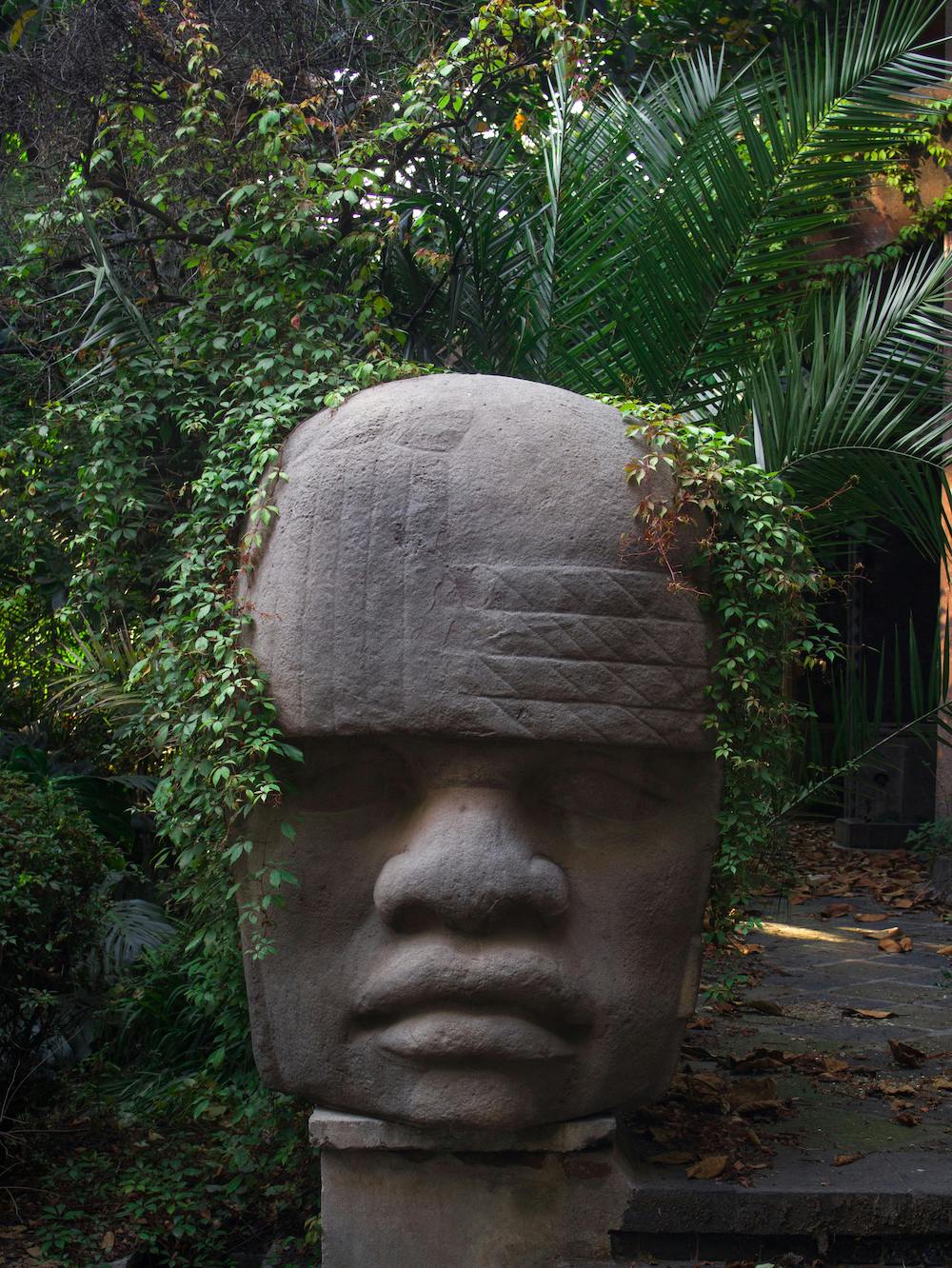
Make a stop at the La Venta Park-Museum, home to the famous Olmec Colossal Heads. Walking among massive stone sculptures surrounded by jungle vegetation reveals why the Olmec civilization is considered the “mother culture” of Mesoamerica.
After visiting La Venta, head into Villahermosa to eat and spend the night. Try the chipilín tamales and a refreshing cold or hot Tabasco chocolate made from local cacao.
Day 3: Villahermosa – Bacalar
Leave Villahermosa around 5:00 a.m. to take advantage of the cool morning hours. Take Federal Highway 186 and then continue along Highway 307 toward Bacalar.
The route cuts through vast jungle landscapes where the vegetation becomes denser and more exuberant. You will see ceiba trees, wetlands, and long straightaways surrounded by rainforest. The entire drive takes approximately 7 to 8 hours, arriving in Bacalar around 1:00 p.m. or 2:00 p.m.
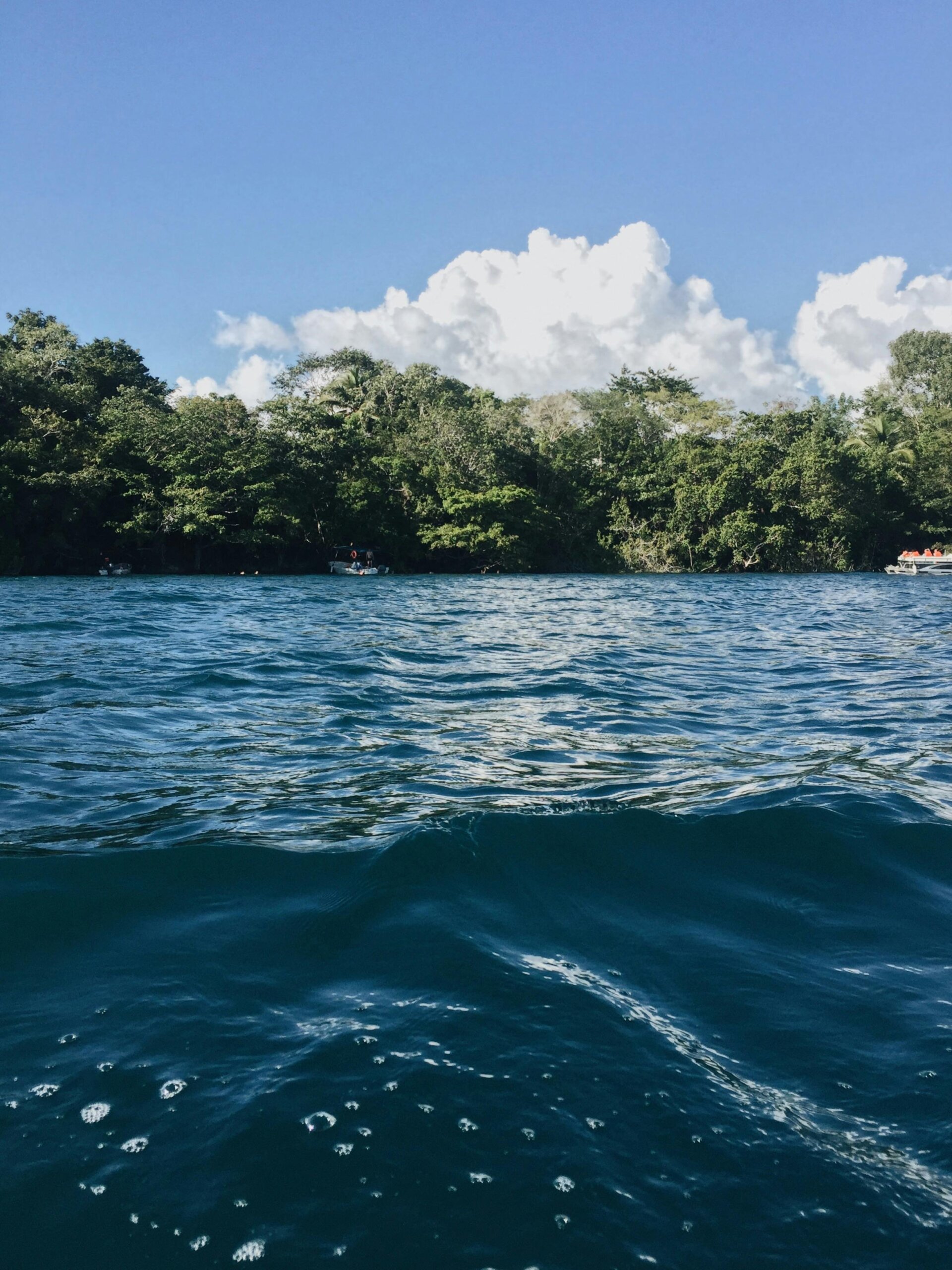
After checking into a lagoon-front hotel, take a boat tour toward the Pirates’ Channel (Canal de los Piratas), swim in the Black Cenote (Cenote Negro), or simply relax on one of the floating docks as the sun sets. At dusk, Bacalar glows in spectacular golden and pink hues. For dinner, order a tikin-xic fish cooked with achiote and citrus, or try the coconut shrimp tacos.
Day 4: Bacalar – Riviera Maya
Wake up early to watch the sunrise over the Lagoon of Seven Colors and enjoy traditional huevos motuleños, freshly baked sweet bread, or Yucatecan tamales accompanied by café de olla right by the lagoon.
Before leaving, visit the San Felipe Fort, built in the 18th century to defend the area against pirate attacks. From there, you will capture one of the best panoramic views of Bacalar and its varying shades of blue.
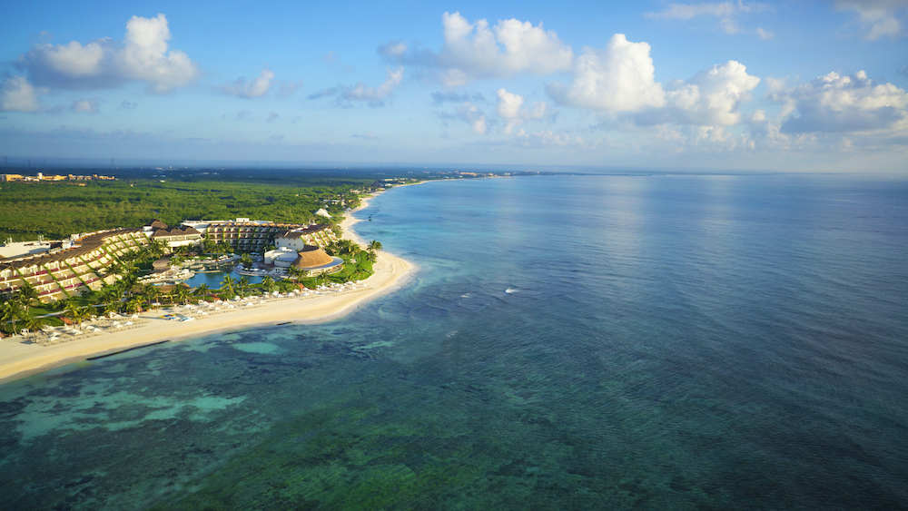
Around noon, take Federal Highway 307 north toward the Riviera Maya. This route travels along a portion of the Mexican Caribbean, framed by tropical jungle, small villages, and hidden cenotes tucked away in the vegetation.
At a leisurely pace with a few brief stops, you will arrive in the Riviera Maya around 5:00 p.m., just as the evening light begins to paint the Caribbean in golden and turquoise tones.
Calculate tolls and fuel
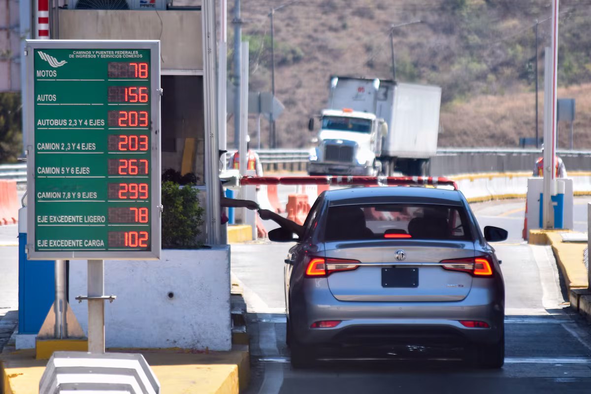
To estimate approximate costs for highway tolls, fuel, and travel times on Mexican highways, the Government of Mexico provides an official tool called “Rutas Punto a Punto” (Point-to-Point Routes) managed by the Ministry of Infrastructure, Communications, and Transportation (SCT).